ENSO conditions currently in neutral state, but warming could lead to weak El Niño.

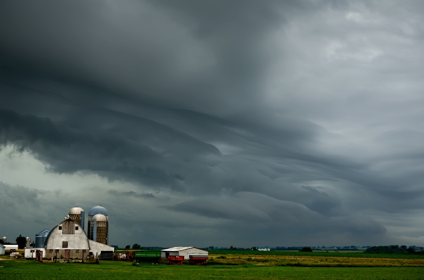
The long-range forecast for the winter brings more bad news for farmers. According to U.S. Department of Agriculture meteorologist Brad Rippey, the current forecast is calling for “more storms, more mud and more planting delays come spring.”
The recent weather system that brought rain and tornadoes to the South also brought snow -- and a muddy mess -- to the Midwest, where harvest remains unfinished in some regions, he said. Farmers still have about 7-8% of their corn crop to harvest.
“It’s going to be a long time before anybody in the Midwest is going to be able to get back into the fields for any remaining harvest activities of corn and soybeans,” Rippey reported.
Currently, it’s “just about impossible” for farmers to get any equipment into the fields, he added.
“What a season it was,” Jeff Doran, senior business meteorologist for Planalytics, said of the 2019 crop year.
Planalytics recently provided a review of the 2019 crop season as well as a brief look into where things may be headed in 2020.
“We knew that we had problems as early as March, and then we started to get into May, and the problems only got worse,” Planalytics director of meteorology Mike Greve said.
As the growing season progressed, it was clear that U.S. agriculture was in “unprecedented territory,” Doran said.
By August, cooler-than-normal temperatures were pretty much locked in over key growing areas.
“While the minimum temperatures were elevated, we just weren’t getting the kind of heat units that we typically get on the summer crops. As a result, crop development continued to lag,” Doran said.
Moving into the fall, concern emerged about freezing temperatures. “An on-time freeze this year was potentially going to cause problems,” he noted.
The freeze was on time, but the bigger story during harvest was about precipitation, Doran said. Rain as well as snow events have exacerbated already challenging conditions.
Looking ahead, Greve said most of the numerical or statistical models are suggesting that the El Niño-Southern Oscillation (ENSO) region will cool a little bit. However, Greve said the sea surface temperatures are showing something different. “We’re actually seeing some potential warming coming in later in the month in December heading into January that might bring those numbers up a little bit closer to that weak El Niño status.”
For now, conditions are neutral, but Weather Channel meteorologist Linda Lam said this doesn’t mean that weather conditions will be average. Additionally, a neutral state makes it more difficult to predict weather patterns, Lam explained.
About the Author(s)
You May Also Like


.png?width=300&auto=webp&quality=80&disable=upscale)

