Top Stories
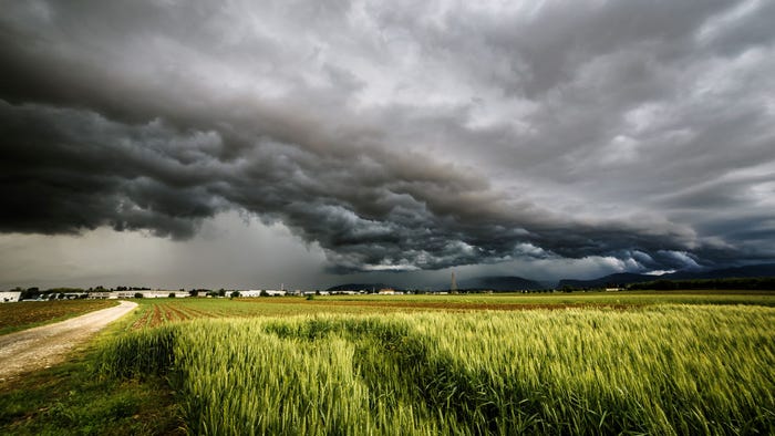
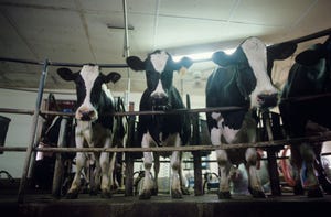
USDA joins FarmRaise to offer online livestock disaster decision tools
USDA joins FarmRaise to offer online livestock disaster decision tools
LIP also covers losses due to eligible diseases and attacks by animals reintroduced into the wild.

.png?width=300&auto=webp&quality=80&disable=upscale)
Cash Grain Bids for
Boone, IA
Landus Cooperative (Boone, IA)
corn
ZCK24
$4.30
corn
ZCZ24
$4.29
soybeans
ZSK24
$10.90
soybeans
ZSX24
$10.91
| Contract | Last | Change | High | Low | Open | Last Trade |
|---|---|---|---|---|---|---|
| Jul 24 Corn | 440.25 | +4 | 442 | 436 | 436.75 | 05:30 AM |
| Jul 24 Oats | 345.75 | -0.25 | 347.5 | 341 | 346 | 02:53 AM |
| May 24 Class III Milk | 17.41 | +0.03 | 17.43 | 17.38 | 17.38 | 04:32 AM |
| Jul 24 Soybean | 1154.25 | +5.25 | 1158.5 | 1145.75 | 1148.25 | 05:31 AM |
| Aug 24 Feeder Cattle | 254.3 | +2.175 | 254.575 | 251.4 | 252.05 | 06:04 PM |
| May 24 Ethanol Futures | 2.161 | unch — | 2.161 | 2.161 | 2.161 | 09:38 PM |

Copyright © 2019. All market data is provided by Barchart Solutions.
Futures: at least 10 minute delayed. Information is provided ‘as is’ and solely for informational purposes, not for trading purposes or advice.
To see all exchange delays and terms of use, please see disclaimer.
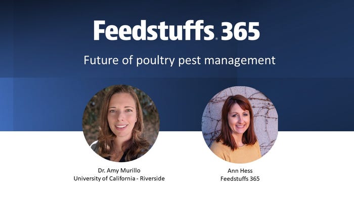
Live Stream Friday April 19 at 1 PM CT: What does the future of pest management look like for the poultry industry? Dr. Amy Murillo of the University of California joins us with the details.
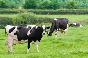
Dairy Health & Nutrition
See all.png?width=300&auto=webp&quality=80&disable=upscale)


.png?width=300&auto=webp&quality=80&disable=upscale)

Nutrition & Health


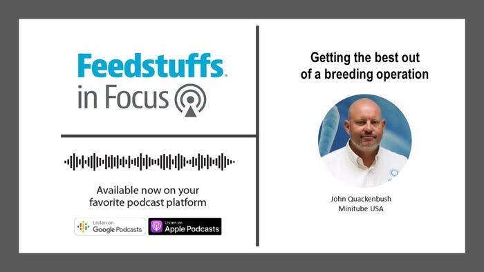
What does it take to get the best out of a breeding operation? John Quackenbush of Minitube joins us with some tips.
Content Spotlight
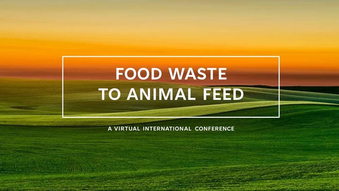
Food Waste to Animal Feed – A Virtual International Conference
A free online conference focused on fostering a discussion around the challenges and opportunities related to food waste for livestock.
Market News

Webinars

Legislative

Watch This Week in Agribusiness with Max Armstrong to see what's happening in agriculture each week.
Mike Pearson gets you ready for planting season and learns about the tough year for crawfish.
EPA’s snub of renewable fuels, land values, grain bin monitoring, new John Deere equipment, commodity transportation impacts, cover crops and carbon, fuel delivery trailers and supply chains are featured this week.
Sustainability, ag education, crop protection, markets, and more featured this week.
Max Armstrong is filling in for Mike Pearson this week, taking a look at “lobbying season” for agribusiness.
Agribusiness News
.png?width=300&auto=webp&quality=80&disable=upscale)

More News